Ages: 5-11
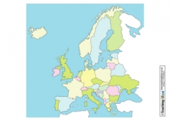
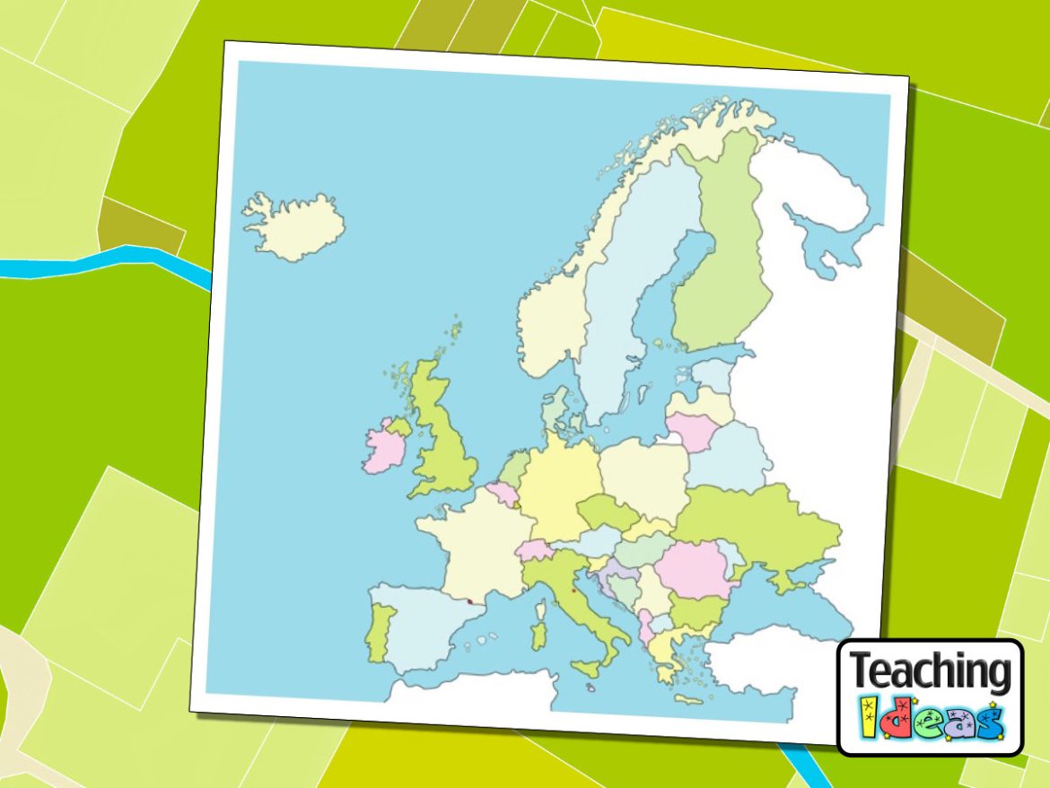
This map of Europe can be printed and used in your Geography lessons in a variety of ways:
- Challenge children to find out the names of each country as a classwork / homework activity.
- Display the PDF on a large display and discuss the location of each country.
- Choose one country and identify the countries bordering it.
- Compare the sizes of each country.
- Allocate each country to one of the children in your class. Ask them to create a report about that country and then combine the reports into a class book.
Do you have any other ideas? Leave a comment below…